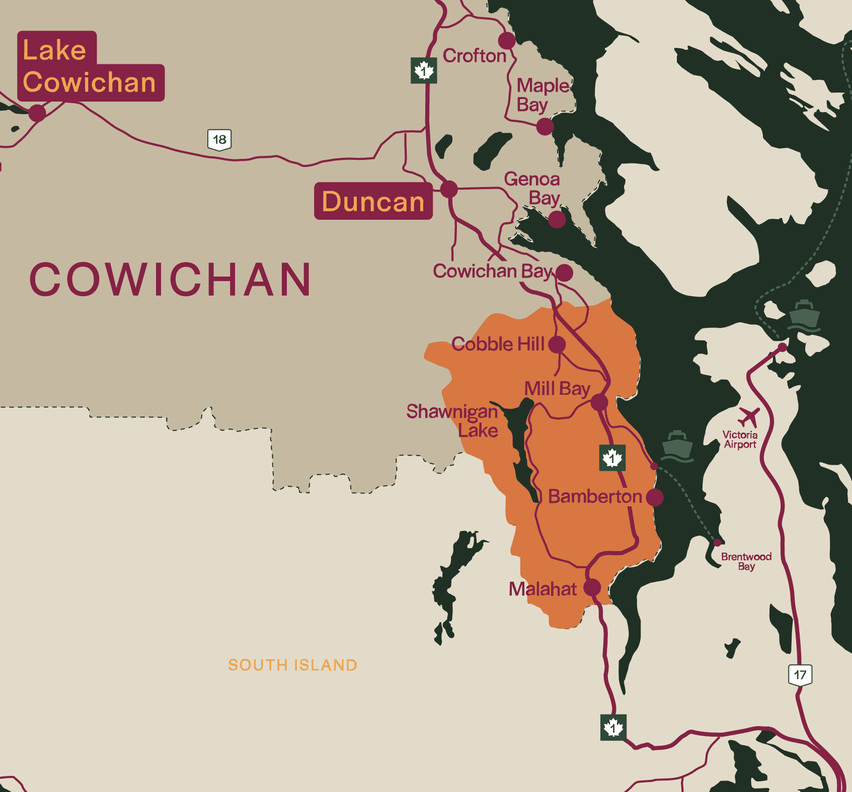
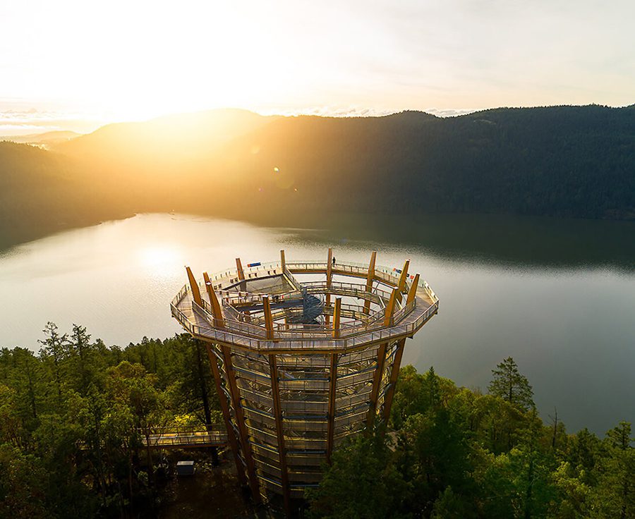
Malahat Skywalk
Ascend the spiral ramp to peak adventure and experience the best views on Vancouver Island.
Introduction
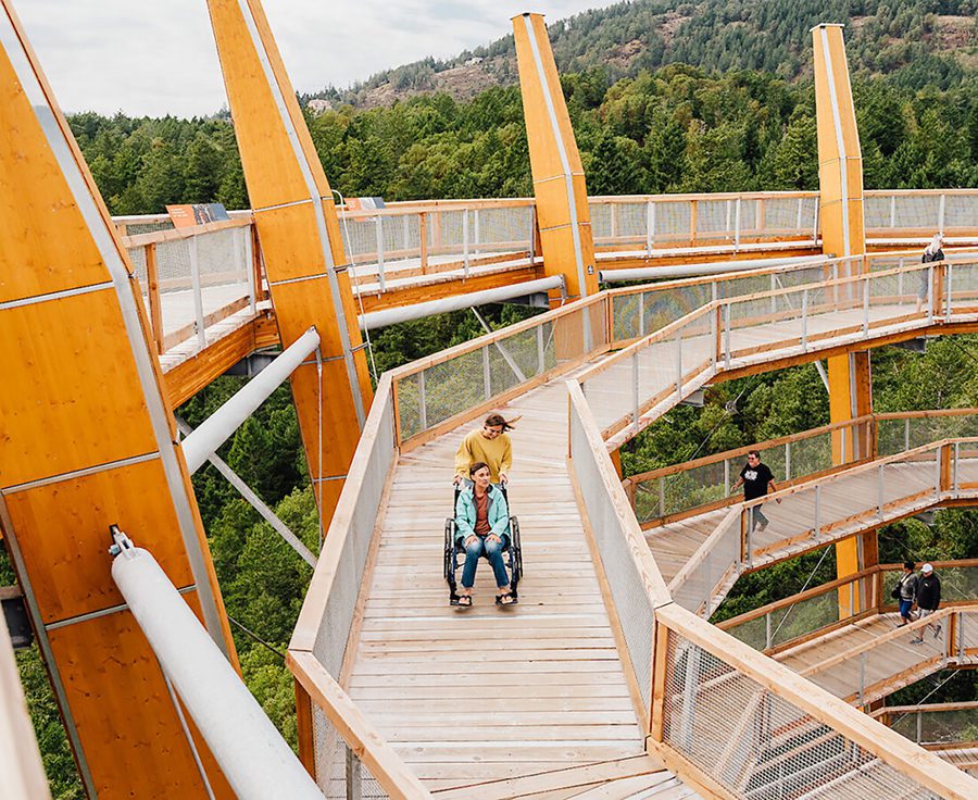
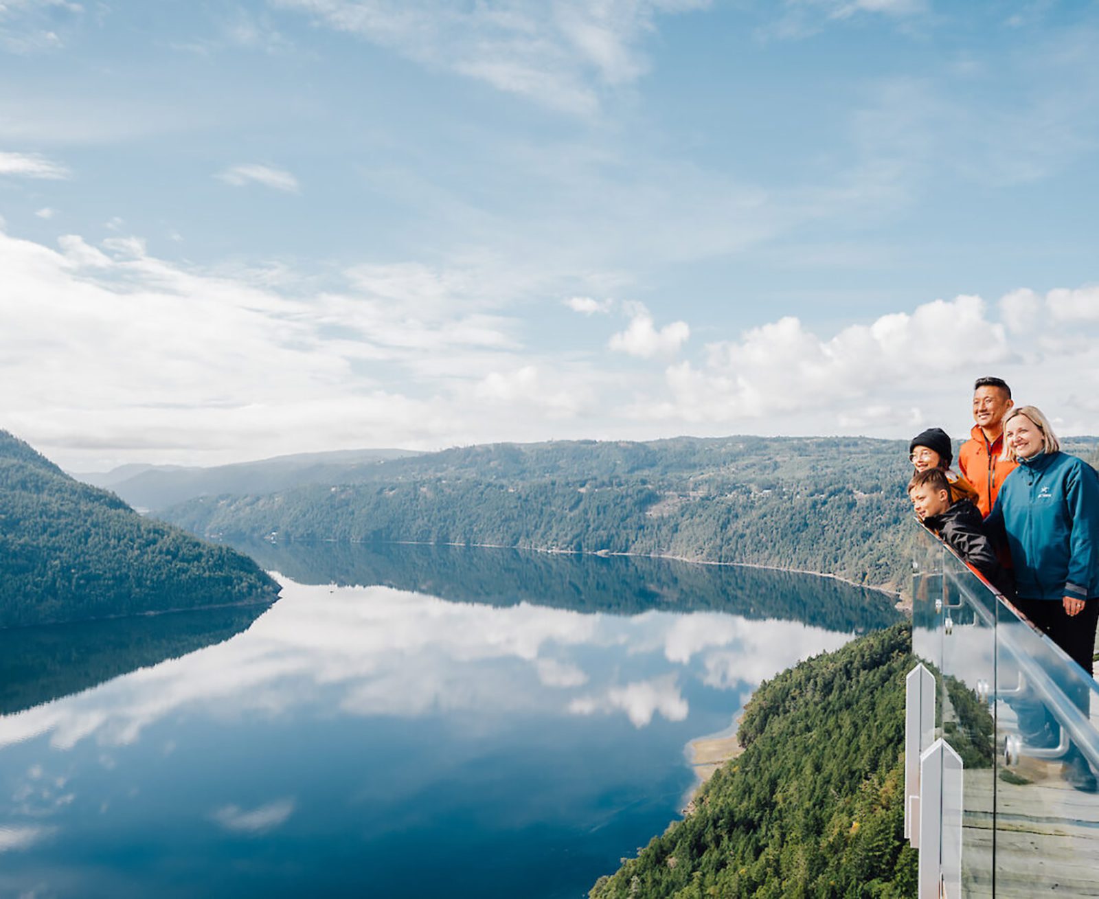
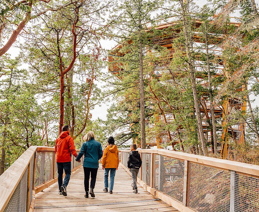
The Malahat SkyWalk offers the ultimate Island experience where explorers of all ages can enjoy breathtaking views and adventure, high among the trees and surrounded by the sea.
Stroll among giants along an accessible 600m elevated walkway through a west coast forest of Arbutus and Douglas Firs. Then ascend the striking 10-story spiral tower to take in the stunning 360-degree view of islands, fjords, forests and mountains.
Contact Details
- 901 Trans-Canada Highway, Malahat, BC, V0R 2L0
- info@malahatskywalk.com
- 1 (833) 625-2428
Follow: